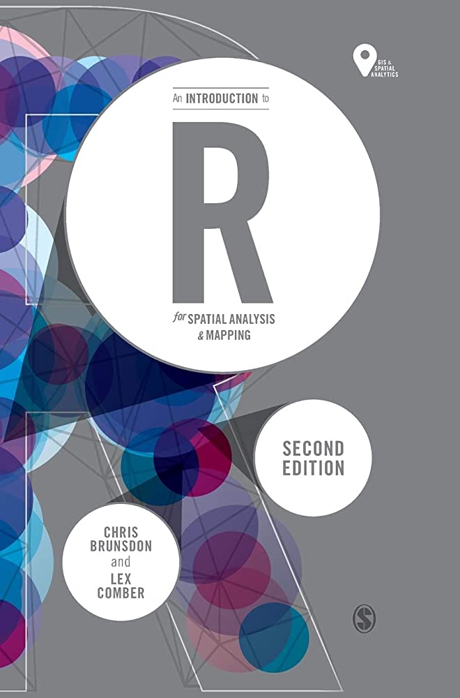
R for Spatial Analysis
This course provides students with essential skills in R for spatial data analysis, empowering them to conduct cutting-edge research in fields such as geography, ecology, and urban planning, and to visualize spatial data in dynamic and compelling ways.
---
Textbook: An Introduction to R for Spatial Analysis and Mapping (Spatial Analytics and GIS) Second Edition
Authors: Chris Brunsdon, and Lex Comber
ISBN: 978-1-5264-2850-9 (Paperback),
      978-1-5264-2849-3 (Hardcover)
Publisher: SAGE Publishing
---

This is a required course for the geospatial concentration of the M.S. program n Biostatistics and Health Analytics. It is also an elective for the M.P.H. program and the Traditional Biostatistics concentration of the M.S program. In this course, students will learn how to utilize R for geospatial data analysis. Students will be introduced to geospatial data structures and will learn how to plot, explore, and manage spatial data using R. Topics covered in this course include point analysis, smoothed kernel density estimation, and kriging. Students will also learn about variograms and semi-variograms, and how to interpret spatial autocorrelation in areal data using Moran's I and Geary's G. Additionally, students will be introduced to Bayesian methods and Markov Chain Monte Carlo (MCMC) algorithms. Finally, students will learn about spatial autoregression and how to apply these concepts in R. Through a combination of theoretical instruction and hands-on exercises, students will gain practical experience in geospatial data analysis and management using R.